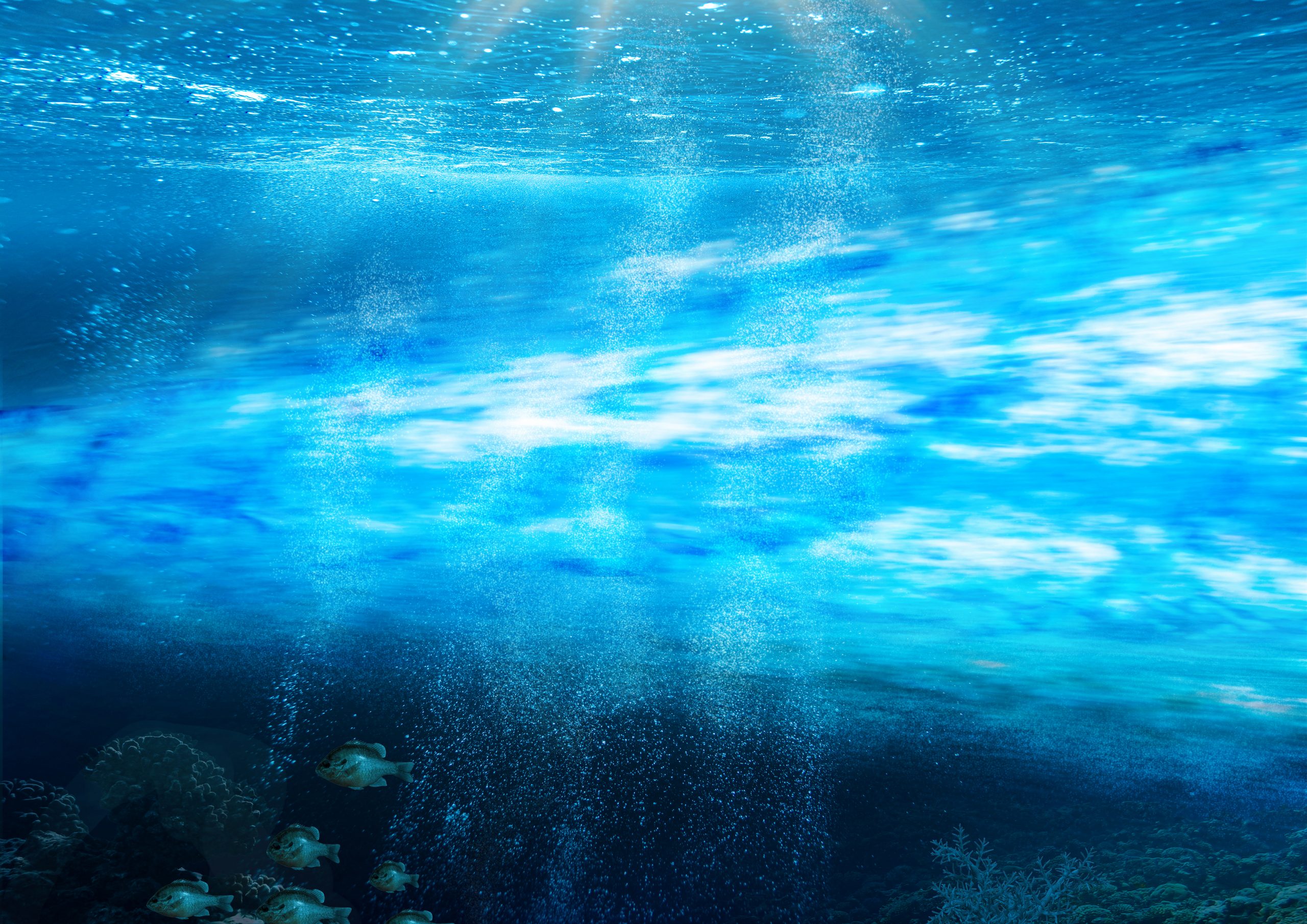
The Magic and Mysteries of Fishing the Gulfstream…Part 1
The Gulfstream, originating in south Florida is the largest river current in the world. It has 26 times the amount of flow than all the world’s rivers combined!!! The Gulfstream is also the fastest-moving of all the world’s surface currents. Due to the rotation of the earth and the trade and westerly winds, these influences push warm blue water westward and create a clockwise gyre in the Atlantic basin. As this flow reaches the Caribbean, part goes into the Gulf of Mexico creating a continuous clockwise gyre eventually spilling out between Cuba and the Florida Keys. This is referred to as the “Loop Current” and is fished in the Gulf of Mexico the same as we do the Gulfstream on the east coast. The other Antilles drift current is sandwiched between South Florida and the Bahamas. When the Loop Current meets the westerly drift current it is now considered the “Gulfstream” and has a greatly enhanced flow that continually goes northward at 4 to 6 knots.
About Cape Canaveral, the stream becomes a wild meandering current as it heads northward to above Cape Hatteras, and sometimes beyond up in canyon country off Maryland and New Jersey. There is little structure or land mass off the southeast coast to impede its wildness so it can vary considerably as to where it is actually located and its geography at any particular time. The Stream is constrained to a narrow band on the west side of the Atlantic Basin due to the earth’s rotation. It generally is about 35 miles across but throws out loop eddies or current rings to both the west and east sides of the current. These eddies often pinch off from the main flow and can drift inland many miles influencing and creating water regimes into upper-shelf shallow waters. It is estimated that the Stream produces an average of 22 very large significant warm core eddy rings and 35 cold water eddies every year. This is very significant to the southeast offshore angler. These eddies can last for many days with some being 50 miles or larger.
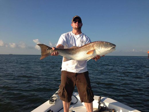
But for a majority of the time for NC, SC, and GA fishermen, the western wall of the stream hugs the 30-100 fathom break. Sometimes it spills onto the shallow inner shelf yet at other times the western wall may be twenty miles offshore of the break. The current greatly enhances life along our shelf terraces and bathes the live bottom habitat with the flow that supports our Snapper-Grouper fishery and brings with it the hunting pelagic gamefish we cherish such as Blue and White Marlin, Sailfish Wahoo, Tuna, Mahi, and Kingfish. These guys know how to hunt!!
So, who discovered the Gulfstream and named it? Believe it or not, it was our patriot and scientist, Benjamin Franklin. Yes, Ben Franklin was the Post Master General for the US — an important position for mail and trade in those days. He noticed that ships

The 1st map of the Gulfstream produced by Benjamin Franklin in the 1770’s. Library of Congress, 1786.
leaving the Northeast harbors of New York, Philadelphia, etc. we’re arriving much quicker at the England Mother ports by traveling on a more northerly tract. Likewise, he noticed that ships headed on a more southerly course were taking a much longer time to arrive. So Franklin, in his great wisdom, proposed that a very strong constant current heading north must be responsible. With his data compilation, he produced the very 1st map of the Gulfstream Current published in 1769 which is accurate to this day.
Perhaps, Franklin did not understand the significance that the Gulfstream has to fisheries. But rest assured; it is one of the most important influences to successful offshore angling along the southeast coast. The Stream is the habitat that attracts the biological domain, the food chain, and is the preferred habitat for Blue Water species. They hunt the stream and its geography and congregate in key locations where the current resides and bait congregates.
Next Week: PART 2